Crawford Notch to Rattle River
White Mountains up the ante
Day 136
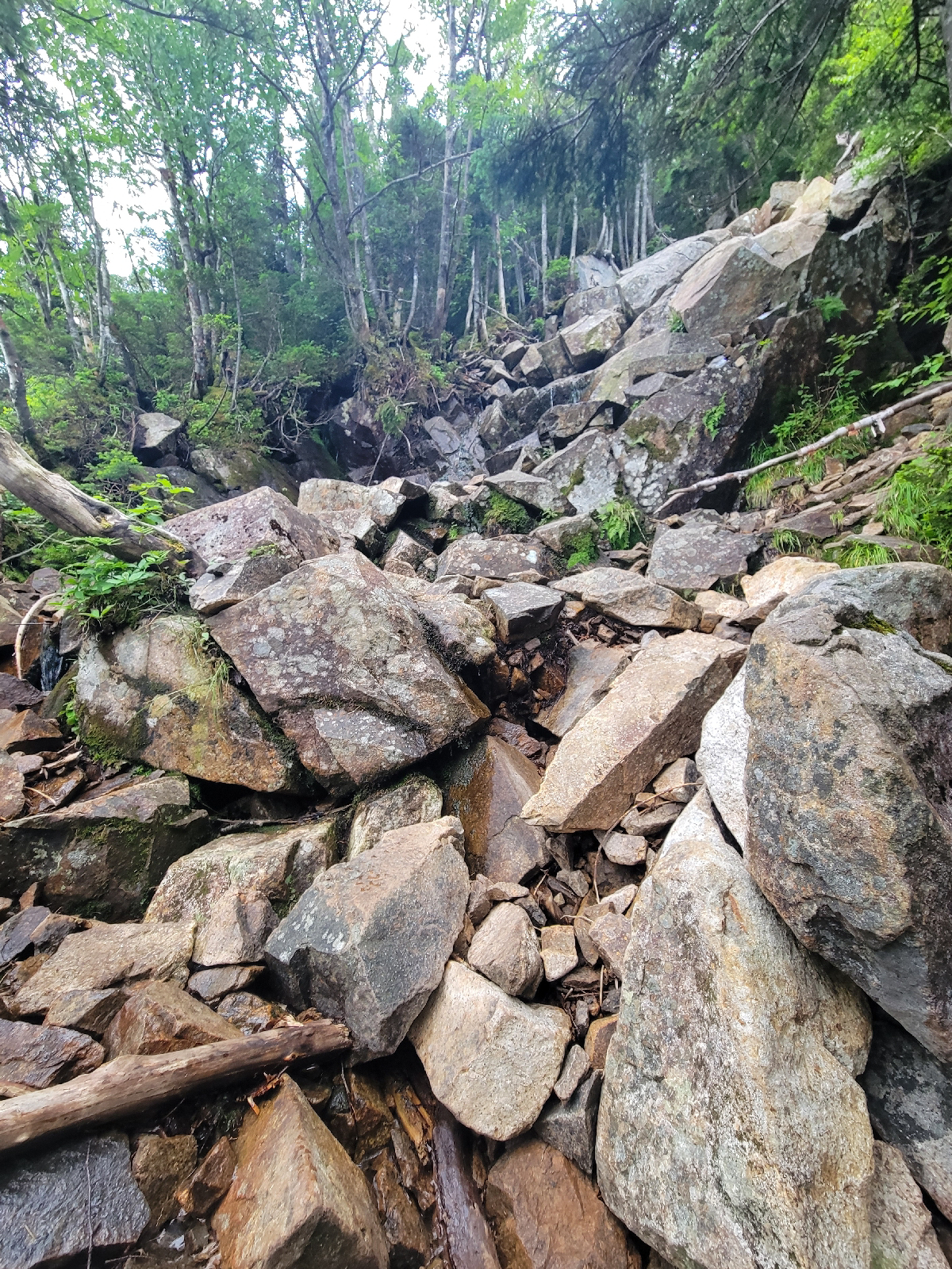
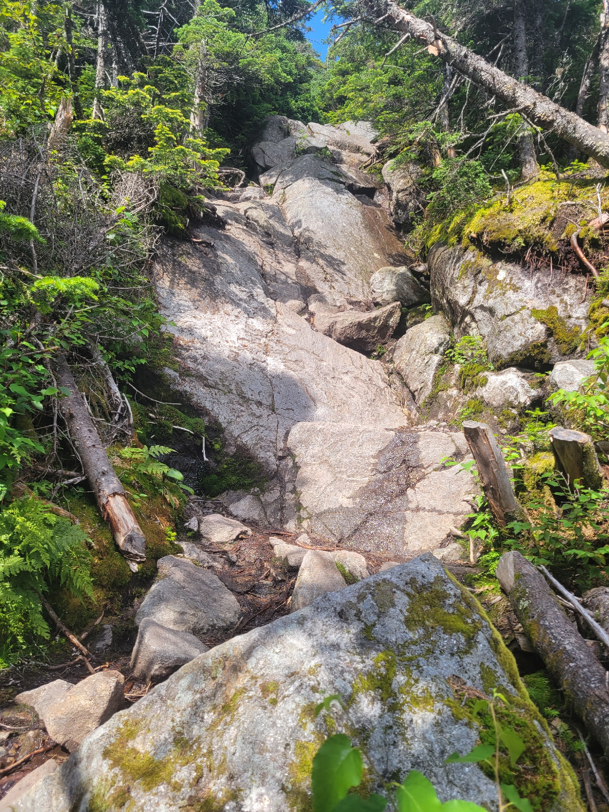
Leaving town with a full resupply and a steep climb ahead felt extra tough today. The climb up from Crawford Notch reminded me that yes, the White Mountains have difficult terrain. At first it was mostly just steep, but the very top was climbed using hands, feet, convenient trees, and wishful thinking. The boulder climbing makes you wonder about who decided this was the best trail. Some of these paths (in the Whites specifically) were cut more than 100 years ago.
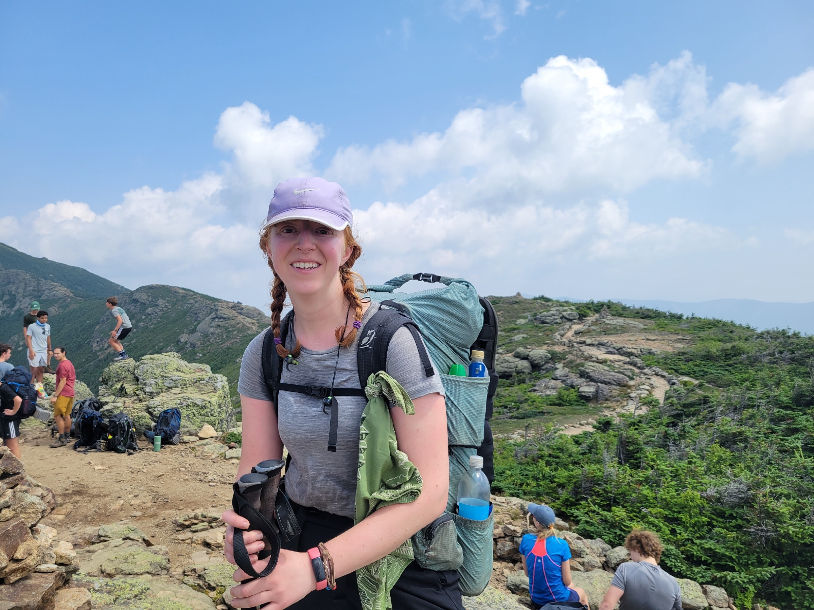
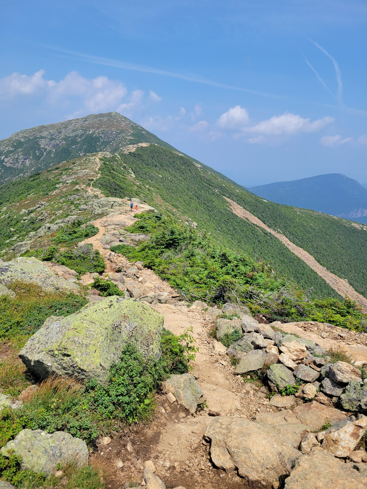
Franconia Ridge, however, deserves the hype. It's a very popular trail, especially on a gorgeous day like this. Once you're on top of the ridge, the going gets much easier. There's several miles of alpine zone with panoramic views as you walk directly along the ridgeline. I had to continually be gentle on myself as the day hikers, unburdened by such packs, passed me. There was even a little French bulldog - I'm pretty sure those dogs aren't designed to breathe well enough to climb mountains? Maybe he was carried, too.
Hiking above treeline generally means limited water sources, which is one downside. Today it meant no mud, which is one upside. I stayed at Garfield Ridge campsite, my first managed AMC site. In addition to the huts, the AMC staffs tent sites in the Whites to educate visitors on Leave No Trace camping and manage high demand areas. On summer weekends, some sites can see 90 visitors a night. Maintaining the composting privy is one of those key duties. These sites are paid, and as a thru hiker I can get a discount pass.
Day 137
It rained most of the day today, which worked out fairly well all things considered. There was some decent climbing in the morning, but it was easier than yesterday. The trail was in the trees except for some exposed summits, where the rain and 30 mph wind made things a bit tricky.
I passed through two huts today, Galehead Hut and Zealand Falls hut. I very much appreciated a place to sit out of the rain for a break and a snack. Rainy days can affect your eating schedule as it's no fun to simply plop down on a convenient rock and have your food slowly get soggy from the rain.
Luckily for me, the rain stopped for my last few miles into camp. Not that I was able to dry out at all, but I could enjoy some views. I shared camp at the Ethan Pond site with a summer camp group. There was lots of singing and laughter, and I was almost like a celebrity to them, answering questions about thru hiking. Turns out their trip was mostly rock climbing and car campgrounds with this one hiking overnight.
Day 138
The summer camp group were not early birds, so I lingered at camp for a bit this morning. That worked out in my favor as there was trail magic just getting set up at the next road crossing! This hiking group from Denmark, ME meets every Friday, and this week's trip was trail magic. There were probably 10 people, several tables and tents and a large variety of food. 9:30 am ice cream? Yes, of course. Along with fresh watermelon, homemade baked goods, and a PB&J sandwich for the road. They had first aid supplies, bandanas, and the banner in the above photo with the club logo. People often grill out meats and are almost sad when they don't get to feed me as a vegetarian.
After some great snacks, I climbed Webster Cliffs and Mounts Webster and Jackson. It was quite the rock scramble at times! I did those two peaks from a different trail on a previous trip, and it was nothing like I remembered. The cliffs were more challenging, for sure, but provided great views along the way. It was a warm, muggy and tiring day.
I camped at Naumann tensite near Mizpah Spring hut, which is at the edge of the Presidential Ridge. There were some alpine bogs near the hut, so you had to be careful with your footing. It was very crowded at camp including another summer camp group. I was quite impressed how the tent site made use of very rocky uneven ground to make some functionality via tent platforms. Even with a freestanding tent (poles provide structure so it doesn't have to be staked down to function), setting up on a wooden tent platform isn't ideal. You don't quite get all the interior space when not using stakes, and the tension with the rain fly isn't great. This meant a lot of fluttering noises in the wind.
For tents that require stakes for structure, sometimes there are hooks on the sides of the platform to tie to, or else you gather some large rocks. Tent platform anchors exist for people that use these a lot; they squeeze between the boards and are turned sideways to hold. You can sometimes improvise this with sticks yourself.
Day 139
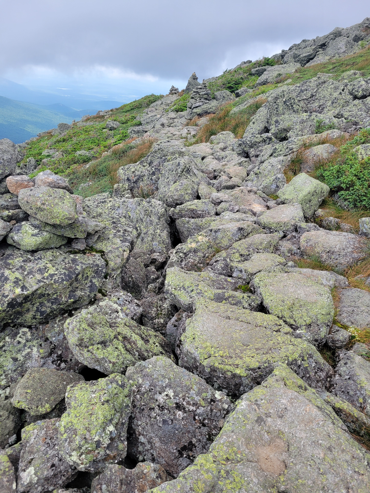
Rock cairns are used for navigation markers when there are no trees or sign posts. They can be several feet tall.
I started the morning in fog and wind. The Presidential Ridge crosses over 12 miles of alpine zone above treeline, so checking the weather forecast is essential. There aren't too many easy bailout points if a storm pops up. I hiked a few miles to Lakes of the Clouds hut, which is closest to Mount Washington and was my last shelter option before crossing the ridge. Mount Washington actually has a weather observatory that is staffed year-round. The forecast called for rain and storms in the afternoon, but forecasts for high peaks are always chancy. Speaking with staff at the hut actually reassured me that every chance of rain might include thunderstorms, so this was actually a typical day. I decided to hike on.
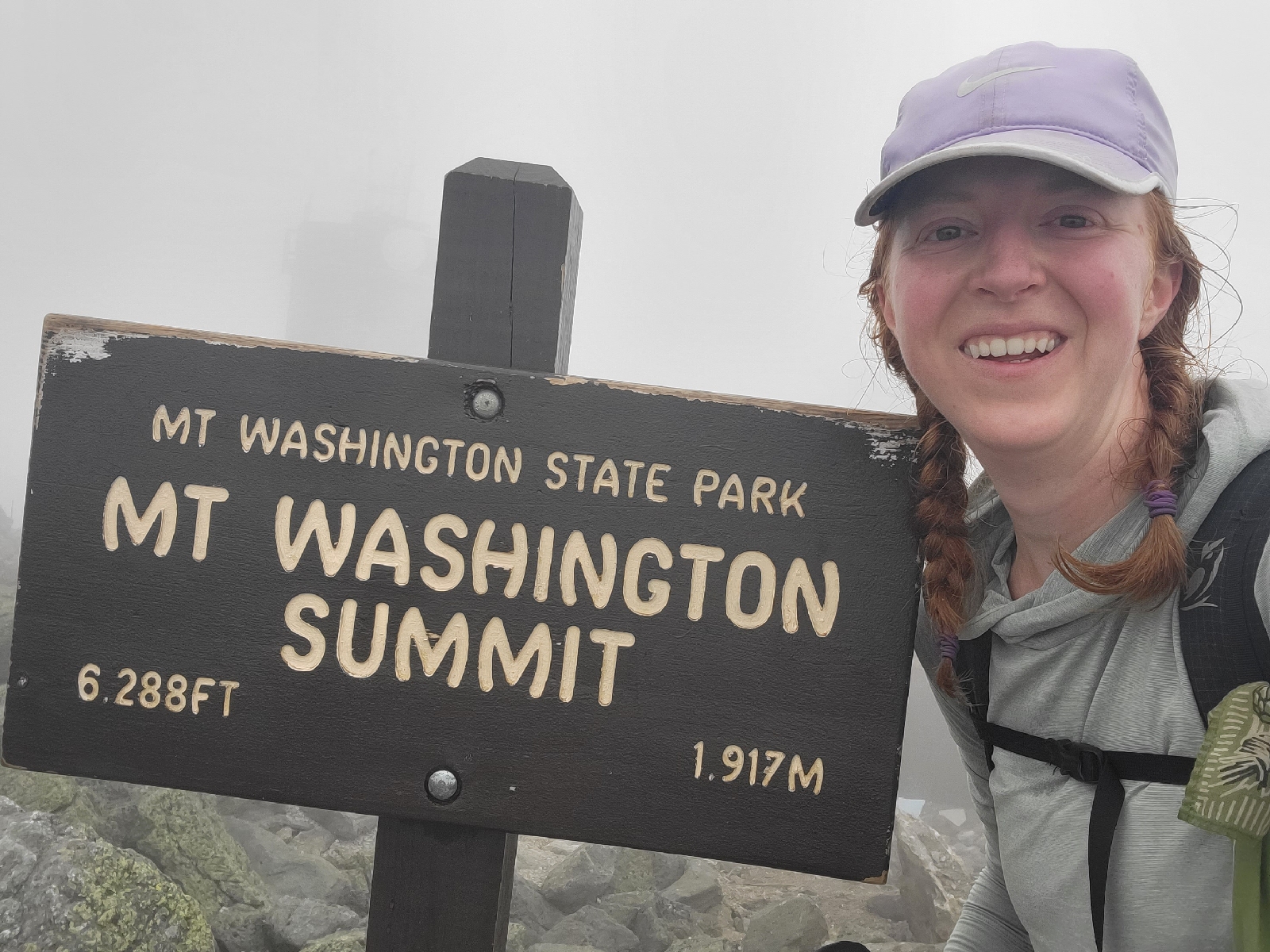
Coming up Mount Washington from Lake of the Clouds involved going from cairn to cairn in the limited visibility around 50 feet, which paralleled my previous visit 2 years ago. I suppose this was kind of like a horse with blinders on - you couldn't see how much climbing was left. It was late morning when I summited, and I stopped into the visitor's center for some food.
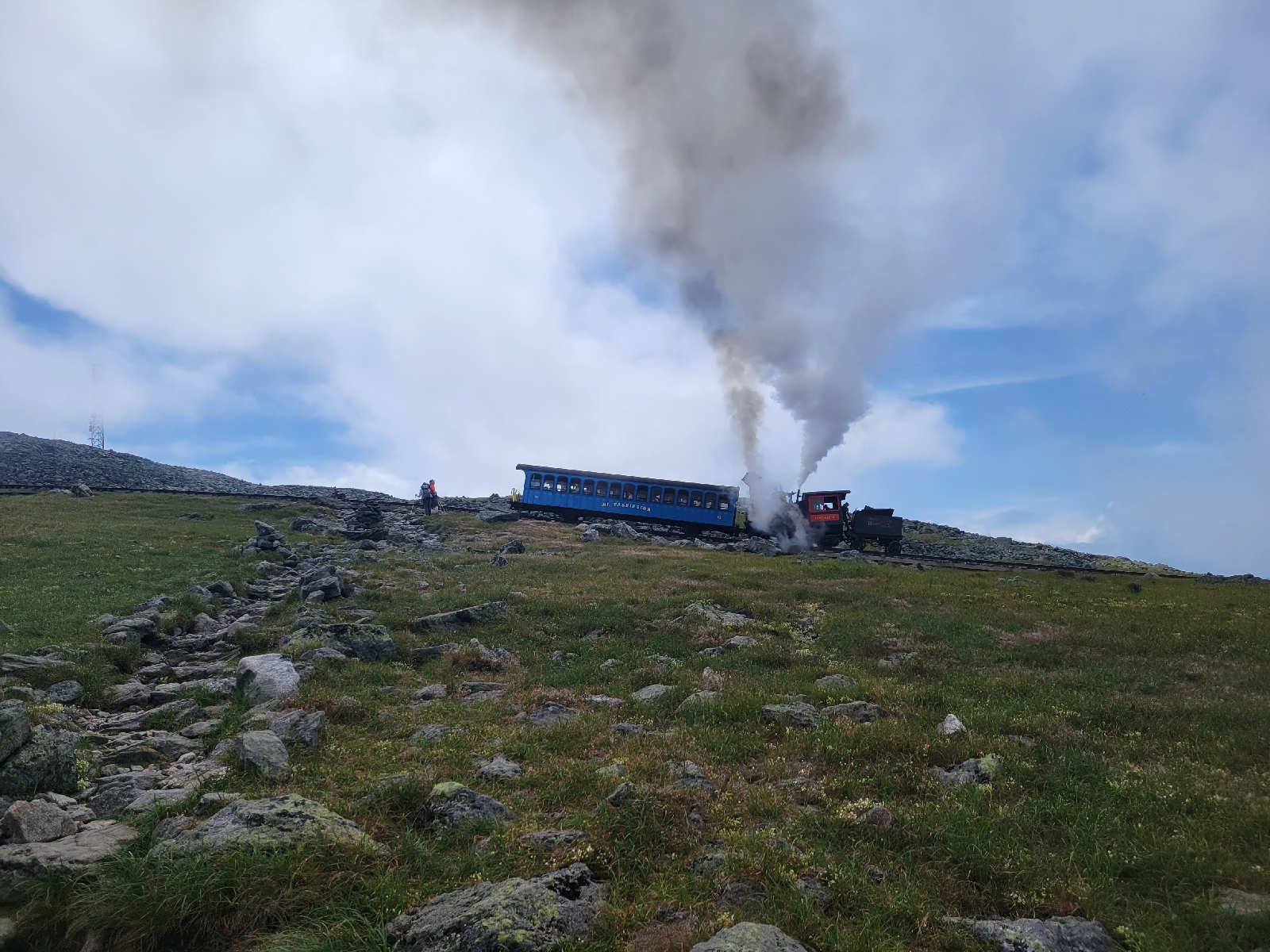
During my previous visit, I was completely exhausted by the time I hiked from base to summit. And just like then, as I was starting my descent the clouds parted, and the crowd of day visitors (not hikers, the train and auto road carry lots of casual visitors to the summit) cheered. It was super cool to see the Presidential Ridge open in front of me. The descent had me cross the cog railroad tracks, and I didn't know that the coach cars were so colorful. As in, hot pink and aqua blue.
There was certainly lots and lots of rock scrambles for the rest of the day, so it was more rock hopping than walking. It was sunny with a light breeze, and once I crossed over the trails to Washington it was pretty empty. The ridge walking involved a few thousand feet of elevation change over 12 miles, which was actually not that steep. The AT doesn't actually summit most of the Presidential peaks, and with the evening storm and a long day already that was fine by me.
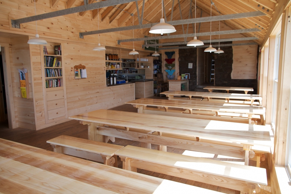
The fog and wind picked up again as I crossed near Mount Adams, along with a few rain drops. I was able to do work-for-stay at the Madison Spring Hut, which worked out well when the rain started less than an hour later. As mentioned, the huts are often fully booked weeks in advance, which is challenging for thru hikers who might not know their itinerary more than a few days out. Work for stay is a middle ground and generally limited to 2 people per night. Thru hikers can assist with cleaning and setting up the dining room in exchange for eating a ton of leftovers and sleeping inside.
I chatted with hut guests who asked a bunch of questions about thru hiking as well as a section hiker who does search and rescue in the Smokies and is completing his last section within the week. The rain cleared in time to see a lovely sunset, and as the wind howled all night I was glad to be inside and dry.
Hut photos from the Internet, as I apparently can't be bothered to take photos often. Bunk rooms not shown.
Day 140
I set out early amidst some serious wind, as in knock you off your feet. Combined with fog and a tough scramble up and over Mount Madison (last of the Presidential peaks), it was a very slow morning. The air temperature was in the 40s, but with my rain coat and rain pants and long sleeves and long pants and exertion, I wasn't cold. I even took a brief wrong turn at the summit since I could see that cairn easier in the fog than the trail I was meant to take. An hour or so in along Osgood Ridge, the fog and wind started to clear and had some great views. By the time I got to treeline about 2 hours in, it was sunny and warm enough to take extra layers off. What a difference that elevation makes!
I descended to Pinkham Notch visitor center for some food and a break. I bought a light resupply to tide me over to the next road crossing before setting out to Wildcat. I believe this climb is called the steepest mile of the AT. It was tough! For about 2 miles I was climbing with my hands, crawling, and not using my trekking poles. How much did anticipation or end of day tiredness make this worse? I kept telling the trail how much I didn't like it, but at least I had great views of the Presidential Ridge.
I ended up camping near the top of the Wildcat ski mountain. It was again cold and windy all night as the storm last night is supposed to bring several days of unseasonably cool temperatures.
Day 141
I'm glad I chose to get all my warm layers, etc. sent to me as I even wore my hat to sleep last night. It was windy again today but almost entirely below treeline to block a lot.of the impact. There was a lot of big scrambling up and down today.
I stopped in at the last of the huts, Carter Notch hut, today. The Carter Moriah ridge is noticeabley less crowded than the rest of the Whites so far, and this is one of the smallest and least busy huts. Fueled up by blueberry coffee cake, I headed out again.
There was nice, easy ridge walking at some point today and only brief rain showers. That effect was quickly spoiled climbing down North Carter at the end of the day, less than 2 miles to camp. Climbing down steep slopes is more treacherous than going up. Of course, the slabs I chose to "butt slide" all had water running down them. I made it to the shelter which was surprisingly full of thru hikers, probably an even split with weekenders. It was cold and windy again overnight.
My days in the Whites has averaged around 10 miles. The terrain is a huge part of this, but so is the limited camping options. Even when dispersed camping is allowed, that doesn't mean you can easily find a site. I have enjoyed ending my days by 5:30 pm.
Day 142
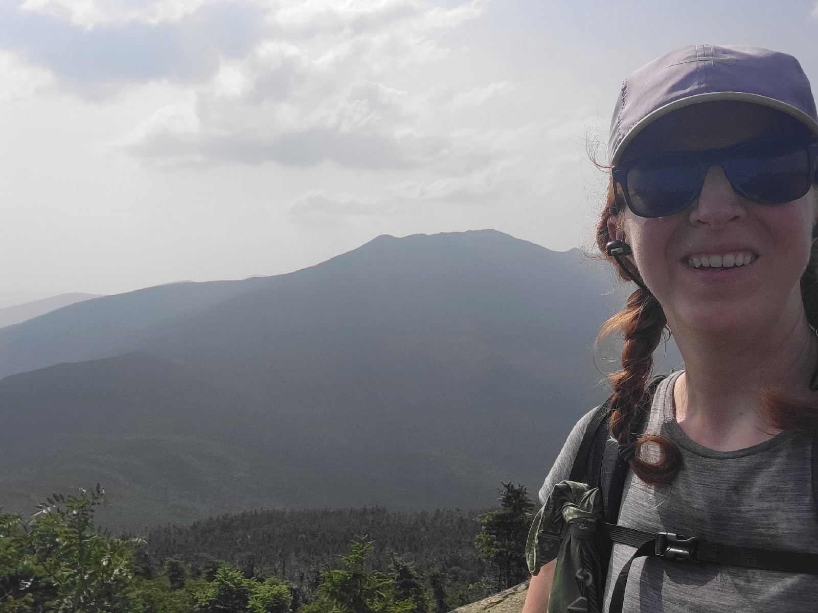
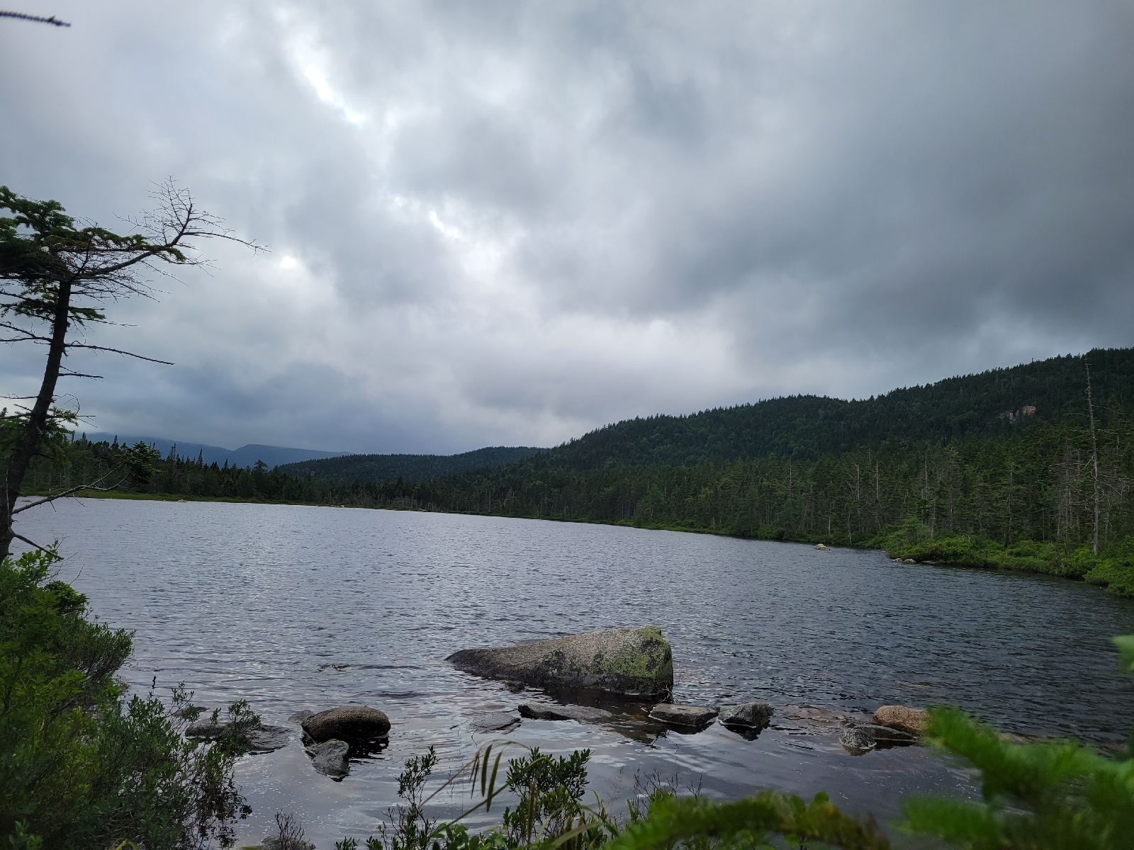
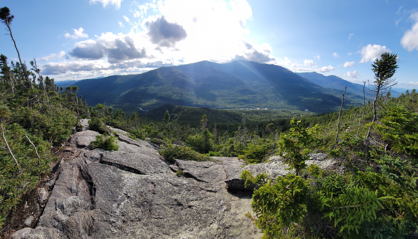
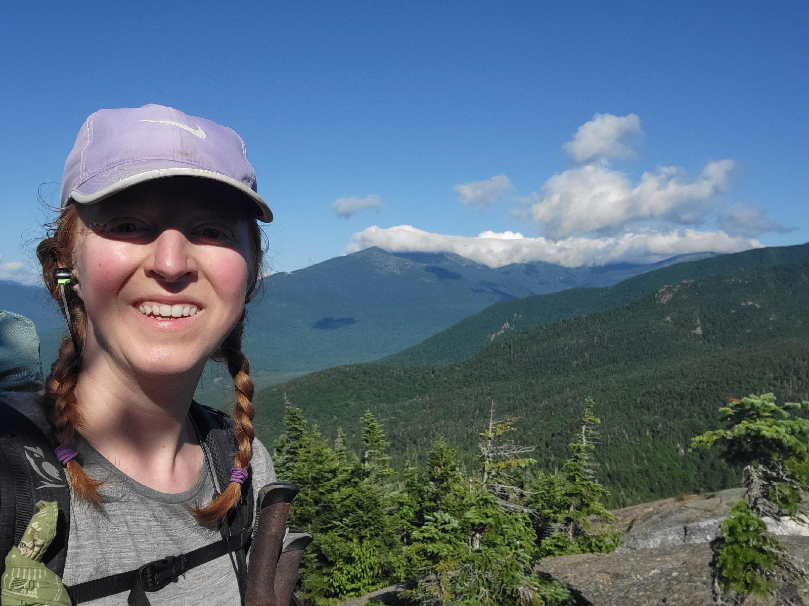
Thumbs up for views. That's the Presidential Ridge with clouds hugging it in the distance, while I am in the sunshine.
Mount Moriah marked the last of the 4000 ft peaks in the White Mountains. It was the kind of chilly weather where you don't want to stop moving, but the terrain was manageable compared to recent days. I was thinking high and mighty thoughts about how I had gotten through the White Mountains unscathed when karma stepped in. It's true that I lucked out with weather and had my rain on days when I WASN'T crossing exposed ridges.
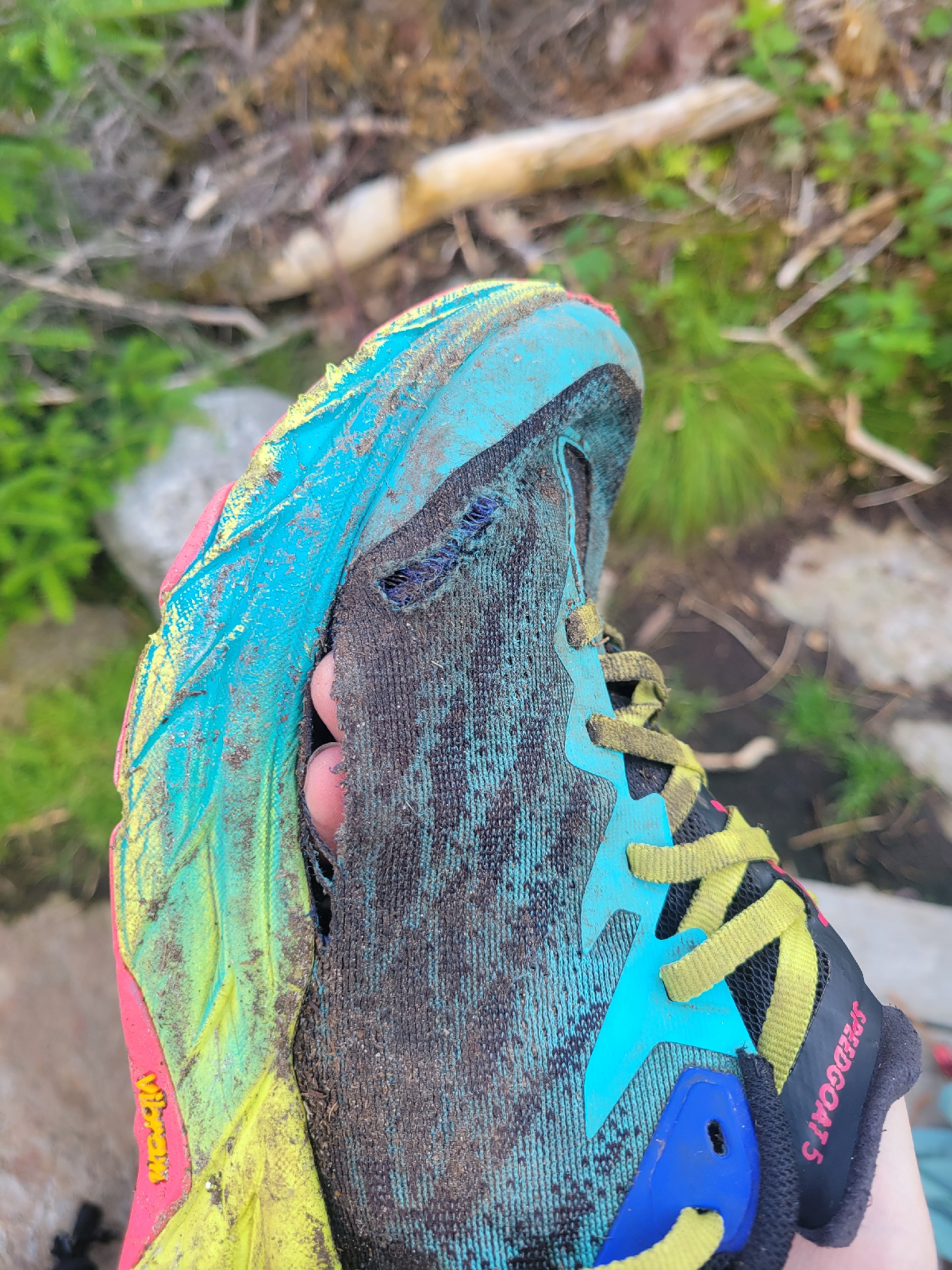
I was trying to rock hop across the Rattle River when the rock slipped, not me, and I fell completely in. On my hands and knees my pack actually stayed dry, but I bruised and scraped my legs pretty well. Luckily I wasn't in a rush, so I took a long lunch break and was able to dry my clothes about 80%. My shoes at this point had holes in 3 of 4 sides, but I was about to pick up my final new pair. To add insult to injury, mosquitoes appeared again as the elevation decreased.
In another great instance of trail magic and "the trail provides", I was connected with old friends of my parents who live in nearby Bethel. I myself have never even met them, but they agreed to host my stinky hiker self in their house. I was able to pick up my new shoes earlier than expected, got home cooked food and got dog snuggles.
Cheers to the Whites ending. Happy hiking!

















Cookie - this is an incredible post with stunning photos. What a tough go. Love that the trail provides. You are inspiring! Continue to enjoy and share. Love it.
ReplyDeleteCookie- amazing pictures of the Presidentials. Love your description of using all 4 points of contact, or butt slides. Yeah for old friends who were true Trail angels to you.❤️ You are an inspirational hiker and the miles are really adding up!
ReplyDeleteJust AMAZING - the descriptions, the photos, and your determination!
ReplyDeleteThe granite slabs and rocks look daunting for going up and going down! But the views are amazing - nice!
ReplyDeleteKeep slogging. We love you! ( Ohio)
ReplyDeleteI have loved your stories and photos and recognize what a wonderful writer you are! Can’t wait to see you and hear stories for a long time to come. Safe travels and Godspeed to the finish!❤️
ReplyDeleteCongratulations Cookie!!!
ReplyDelete